
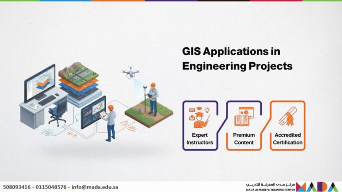
About the Course
The “GIS Applications in Engineering Projects” course is a premier opportunity to enhance technical proficiency using modern Geographic Information System (GIS) tools. This program is designed to prepare participants for the 2026 labor market, where spatial data-driven planning and execution have become industry standards. As the importance of spatial intelligence grows, mastering GIS has become essential for engineering disciplines such as infrastructure, transport, environmental engineering, and urban planning.
Course Objectives
- Understand the fundamental concepts of GIS and its diverse applications in the engineering sector.
- Utilize GIS tools to analyze spatial data and integrate it with engineering project workflows.
- Master the creation of digital maps and engineering data models using industry-standard software.
- Integrate geographical data with engineering systems to support strategic decision-making.
- Analyze and interpret spatial results to optimize the efficiency of mega-projects.
- Manage spatial databases, including advanced import/export and data cleaning techniques.
- Apply best practices in GIS for large-scale infrastructure and transportation projects.
Course Syllabus
Day 1: Introduction to Geographic Information Systems (GIS)
- Core concepts: Defining GIS and its strategic importance in modern engineering.
- The five pillars of GIS: Hardware, Software, Data, People, and Methods.
- Understanding data types: Spatial Data (Vector & Raster) and Attribute Data.
- The role of GIS in sustainable urban planning and infrastructure development.
Day 2: Essential GIS Tools and Software
- Hands-on overview of leading software: ArcGIS Pro and QGIS.
- Digital map design: Mastering Layers, symbology, and map layouts.
- Geospatial data entry and linking GIS with CAD and engineering systems.
- Visualizing spatial data and performing preliminary thematic analysis.
Day 3: Spatial Analysis in Engineering Projects
Focusing on Site Selection and Network Analysis to drive project efficiency.
- Utilizing spatial analysis tools for optimal site selection and suitability mapping.
- Analyzing transport networks and utility infrastructure (water, electricity, sewage).
- Terrain analysis: Studying the relationship between topography ($Z$-coordinates) and engineering design.
- Generating 3D models and Digital Elevation Models (DEM) from spatial data.
Day 4: Integrating GIS with Engineering Management Systems
- Linking GIS with Project Management software for real-time progress tracking.
- Utilizing GIS for field data collection and monitoring construction phases.
- Integrating spatial data with centralized engineering databases (BIM-GIS integration).
- Optimizing planning and execution through multi-criteria spatial analysis.
Day 5: The Future of GIS in Smart Engineering
Exploring the intersection of GIS with the Digital Revolution.
- Emerging trends: Real-time GIS and Digital Twins in engineering.
- The role of GIS in Smart Cities and the Internet of Things (IoT).
- Leveraging Artificial Intelligence (GeoAI) for advanced spatial data analysis.
- Future challenges and opportunities for GIS professionals in the global engineering market.

